Two surfers look at the same surf forecast. One sees "1.8 m" and decides it is too small. The other sees "1.8 m at 15 seconds from the south-west, light westerly wind, low tide at 7am" and is in the water at first light while the point fires. Same numbers, very different reading.
A forecast is not a promise of surf; it is a description of the ocean that you have to translate into waves at a particular beach. Once you know what each number means and how they interact, you will waste fewer sessions, score more good ones and understand why your local spot does what it does. This guide walks through swell height, period and direction, then wind and tide, and finishes with how to read the ratings on our own live surf reports.
The three swell numbers on every surf forecast
Most forecasts describe the swell with three numbers, written something like 1.8 m @ 14 s SW:
- Height tells you how big the swell is in open water.
- Period tells you how much energy it carries and how it will behave when it reaches the coast.
- Direction tells you where it is coming from, and therefore which beaches it can reach.
Beginners look at height first. Experienced surfers look at all three together, because a small swell with a long period from the right direction can produce better surf than a bigger, weaker swell from the wrong one. Many forecasts also list a secondary swell, a second set of waves arriving from another direction at the same time. When two swells cross, beach breaks can turn peaky and fun, or messy and confused.
Swell height versus the surf you will actually ride
Forecast swell height is usually the significant wave height: roughly the average of the highest third of the waves in open water. That has two consequences.
First, waves vary. Most waves in a swell are smaller than the significant height, but plenty are bigger, and the biggest set of a long session can be one and a half to nearly two times the forecast number. That is the wave that catches people inside.
Second, open-ocean height is not surf height. When swell reaches shallow water it slows, steepens and grows, and the amount depends on the seabed, how exposed the spot is and how much the swell has to bend to get there. An exposed reef might break bigger than the swell number; a sheltered point might break much smaller.
That is why our reports show two things: the swell in metres, and an estimated surf height in feet for each individual break, with a plain-language description such as "waist to chest high". The surf height is the number to compare with your ability.
One more trap: surfers measure waves differently. Some describe the face height from trough to crest, some use traditional scales that come out at roughly half the face, and some just say "head high". When you compare forecasts or listen to reports, make sure you know which scale is in use.
Swell period: the number most people ignore
Period is the time in seconds between two waves passing the same point. It is the best single clue to a swell's power and quality, because longer-period waves are longer, faster and carry more energy for the same height. Wave power rises with the square of the height multiplied by the period, so a 1.5 m swell at 16 seconds packs roughly twice the punch of a 1.5 m swell at 8 seconds.
Period also controls how a swell meets the coast. In deep water a wave's length in metres is about 1.56 times the period squared, and waves start to feel the seabed at a depth of about half their length. An 8-second wave is about 100 metres long and feels the bottom at around 50 metres; a 16-second wave is about 400 metres long and starts feeling it at around 200 metres. That is why long-period groundswell bends around headlands and wraps into points like Jeffreys Bay, while short-period wind swell barely makes the turn.
| Period | What it usually is | What to expect |
|---|---|---|
| Under 8 s | Local wind swell or chop | Weak, close-together waves, often messy |
| 8 to 10 s | Short-period swell | Surfable at exposed beaches, sectiony, struggles to reach points |
| 10 to 13 s | Mid-period groundswell | Solid, well-shaped surf at most open breaks |
| 13 to 16 s | Long-period groundswell | Powerful, well-spaced sets that wrap into points and bays |
| 16 s and longer | Very long-period groundswell | Deceptively strong sets, long lulls, sets bigger than the forecast at exposed spots |
Period also tells you when a swell will arrive. Swells travel at roughly one and a half times their period in knots, so a 14-second swell covers around 900 kilometres a day. Swell from a storm two thousand kilometres south-west of the Cape takes around two days to arrive, and the longest-period forerunners always show up first.
Swell direction and your spot's swell window
Swell direction is always given as the direction the waves are coming from, either as a compass point or in degrees: north is 0°, east 90°, south 180°, west 270°, and a south-west swell is around 225°. Every spot has a swell window, the range of directions it is open to, and swells outside it miss the beach or have to bend so much that they lose most of their size.
This is why two beaches a short drive apart can be completely different on the same day. A westerly swell that lights up the Atlantic side of the Cape Peninsula barely reaches Muizenberg, tucked inside False Bay, and Jeffreys Bay is similarly sheltered from swell with too much west in it. Each spot in our database has its own ideal swell direction and swell window, and the ratings take both into account.
Wind: the difference between perfect and blown out
Swell decides whether there will be waves. Wind decides whether they are any good. The key is the wind's direction relative to the beach:
| Wind type | What it does to the waves |
|---|---|
| Calm or light and variable | Glassy, smooth faces; often the best conditions of the day |
| Offshore (land to sea) | Holds the faces up and makes waves hollower and cleaner; strong offshores make paddling in harder |
| Cross-offshore | Often ideal at point breaks; grooms the face as the wave peels |
| Cross-shore | Rideable but bumpy, with one side of the peak crumbling |
| Cross-onshore and onshore (sea to land) | Choppy, crumbly waves that close out; poor shape |
Speed matters as much as direction. Our reports describe the wind in plain terms: calm below about 6 km/h, light up to 15 km/h, moderate up to 25 km/h, fresh up to 35 km/h and strong above that. A light onshore can still be surfable; a strong offshore can make it hard to get into waves at all. Look at the gusts too, because a 15 km/h average with 35 km/h gusts surfs very differently from a steady 15.
Timing is the other big one. On warm days the land heats up and a sea breeze, which is onshore, tends to build in the afternoon, so dawn is often the cleanest time. Local winds have their own personalities: Cape Town's summer south-easter, the berg winds that blow warm and dry off the interior in winter, and the west to south-west winds that groom J-Bay. Learn what the common winds do at your local spots and you will read forecasts twice as fast.
Tides: when the same swell switches on and off
South Africa has two high tides and two low tides a day, and on spring tides around full and new moon the range can reach about two metres on parts of the coast. Neap tides, around the quarter moons, have a much smaller range. That is enough to transform many spots:
- Reef breaks often work only within a window of the tide; too low and they turn dangerously shallow or close out, too high and the waves roll over without breaking.
- Beach breaks depend on the sandbanks, which change after storms, so the best tide can shift from month to month.
- Point breaks are often the most forgiving, although lower tides usually make them faster and hollower.
Many surfers swear by the push of an incoming tide. Keep a simple log of when your local spot works best and you will soon learn its preferences better than any forecast can describe them.
Reading the JBay Waves surf report
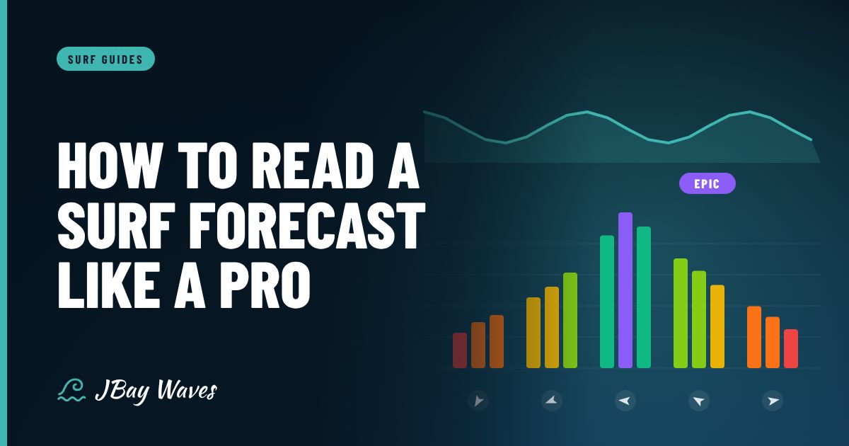
Every spot on our surf reports gets a 0 to 6 rating for now, for each part of the day and for each of the next seven days. The rating compares the forecast with what that particular break needs: estimated surf size against the spot's workable range, swell period, swell direction against its swell window, and wind strength and direction against its offshore direction.
| Rating | Label | What it usually means |
|---|---|---|
| 0 | Flat | No rideable surf; go for a run instead |
| 1 | Poor | Tiny or badly wind-affected; only for the very keen |
| 2 | Poor to Fair | Surfable but compromised; fine for a quick fix or a lesson |
| 3 | Fair | Decent waves with some flaws; worth a session |
| 4 | Fair to Good | Good shape and size for the spot; worth rearranging your day |
| 5 | Good | The spot is working properly; expect a crowd |
| 6 | Epic | Rare, all-time conditions; drop everything |
Alongside the rating you will find the best window for each day, morning and afternoon wind, tide times, water temperature and a wetsuit suggestion. Forecast data comes from global wave and weather models via Open-Meteo. Like all model forecasts, the first two or three days are the most reliable; days five to seven are best read as a trend. Ratings are estimates, so always look at the water yourself before you paddle out.
For a quick-reference version of all this to keep on your phone, download our free surf forecast cheat sheet.
Putting it together: a five-step forecast routine
- Scan the week. Look for a swell with a period of 10 seconds or more coming from your spot's preferred direction.
- Check the size where you surf. Use the estimated surf height for the break, not the open-ocean swell number.
- Match the wind. Find the hours when the wind is light or offshore at that spot, and check the gusts.
- Add the tide. Line those hours up with the tide your spot prefers.
- Confirm on the morning. Check the latest update, the rating and, ideally, the water itself.
Here is a made-up example from Jeffreys Bay. The forecast shows a south-west swell at 14 seconds, a light west-south-west wind until about 11am, a north-westerly berg wind in the afternoon and low tide mid-morning.
Long-period swell from the right direction means the point will be lined up; the morning wind is the classic J-Bay groomer; the afternoon berg wind will blow into the face at Supertubes. The call is an early session, with the tide dropping towards low making it fast and hollow. Our month-by-month J-Bay guide explains why that pattern turns up so often in winter.
Common surf forecast mistakes
- Judging a swell by height alone and ignoring period.
- Checking the wind speed but not its direction or timing.
- Trusting day seven as much as tomorrow.
- Forgetting the tide at reefs and sandbanks.
- Comparing numbers between sites that use different height scales.
- Paddling out somewhere beyond your ability because the rating says Good. If you are still learning, our beginner's guide to your first ten sessions explains what conditions to look for.
Start with the live Jeffreys Bay Supertubes report or the spot closest to you, and compare what the forecast said with what you saw every time you surf. Within a season you will be reading forecasts like a local. It is the kind of habit our Find Your Wave tee was made for: for anyone who plans their week around the swell.